11th May 2024 at 10:40
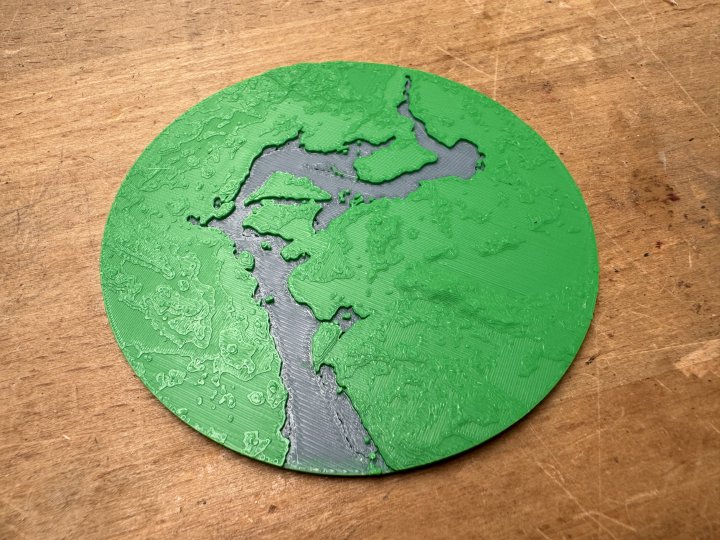
A follow up to my earlier post on trying to print the landscape from The Great Moose Migration. I’m now trained on the Bamboo printers at Makespace, and so I’ve been able to do more iterations.
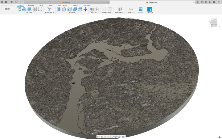
In the end I used Fusion 360 to tweak the GIS data to raise the water level to what it actually looks like this time of year, and make it a more pleasing overall shape. There’s still work to do, but it was nice to get a better version done before the end of this year’s moose stream.
I’m also interested in this from a work perspective. I do a lot of work with ecologists looking at impacts on biodiversity and tropical forest projects, and it might be a nice way to visualise some of that data.
- Next: 13rd May 2024 at 14:51
- Previous: 5th May 2024 at 18:07
- Tags: 3D printing, moose, sweden